Florida Trail Maps and Databook
Explore the Florida Trail Using our Online Interactive Map: This map utilizes US Forest Service GIS data for the Florida Trail. Please send any corrections or comments regarding this ArcGIS on-line map to [email protected].
If you are planning a race or similar large event on the Florida Trail, please contact us at [email protected]
Florida Trail Map Set
The Official Florida Trail Map set and Data Book are updated and released by October 1st of each year and sometimes as early as the first week in September.
To purchase water resistant, 11″ x 17″ paper maps of the Florida Trail, visit our store!
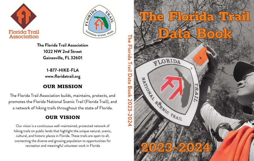
Florida Trail Databook

Here is the digital version of The Florida Trail Data Book, free for download. *Please note that all text displayed in red indicates changes made from the previous year’s FT Data Book.
If you are interested in purchasing the entire Data Book in a 3″ x 5″ booklet, visit our store!
Data Book 2023-2024 Introduction – PDF
